Outdoors
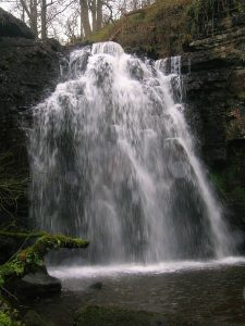
Lynn Spout - Ayrshire
Nature & Wildlife
Lynn Spout is a stunning waterfall on the Caaf Water near Dalry in Ayrshire.
04 The Bute

Fintry Bay - Greater Cumbrae
Nature & Wildlife
Also spelled Fintray Bay, this red sand beach sits in the middle of the west coast of Great Cumbrae and is approximately 2 km northwest of Millport.
04 The Bute
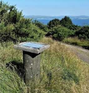
Canada Hill - Isle of Bute
Scenic Views
Enjoy beautiful views over Rothesay to the Firth of Clyde and the Cowal Peninsula from the top of Canada Hill.
04 The Bute
Eas Mor Waterfall - Isle of Arran
Nature & Wildlife
The stunning Eas Mor Waterfall can be reached by a tough but worthwhile forest walk
03 The Arran
Pirnmill Beach - Isle of Arran
Nature & Wildlife
The beautiful Pirnmill beach located in the small village of Pirnmill on the north-west coast of the Arran.
03 The Arran

Brodick Beach - Isle of Arran
Outdoor Activities
Brodick Beach sits below Goatfell which together with Brodick Castle, makes one of the most iconic viewes on the island of Arran
03 The Arran

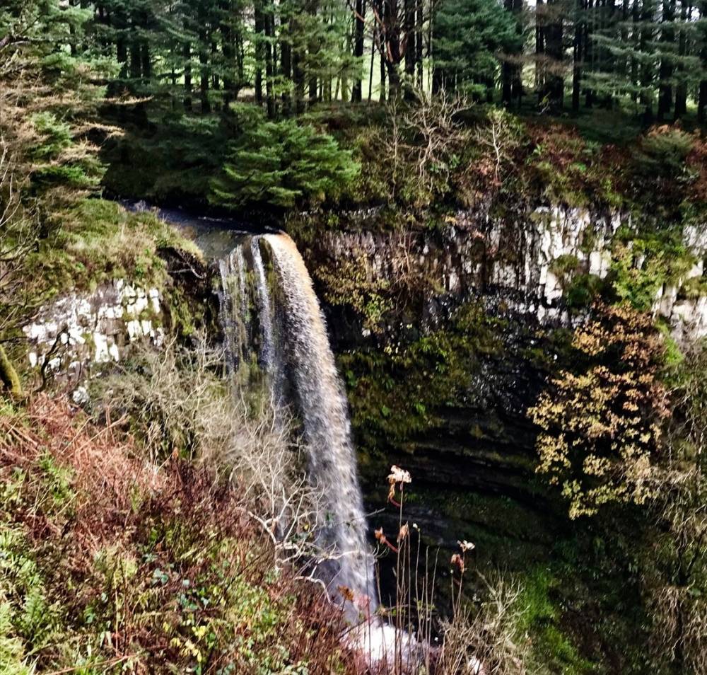
Spout of Garnock - Ayrshire
Nature & Wildlife
The Spout of Garnock is approximately 60–70 ft high, making it is the county's highest waterfall
04 The Bute

Goatfell - Brodick
Outdoor Activities
Goatfell stands at 874 metres making it the highest point on Arran.
03 The Arran
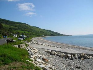
Seamill Beach - West Kilbride
Outdoor Activities
Seamill beach in Ayrshire boasts lovely views across to the Isle of Arran and down the Firth of Clyde.
04 The Bute
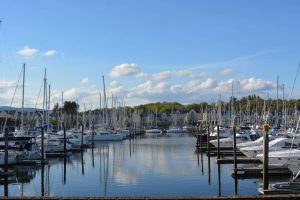
Inverkip Marina - Renfrewshire
Outdoor Activities
Marina on the Clyde offering berthing for national and international boats
04 The Bute
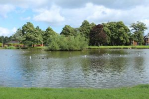
Kay Park - Kilmarnock
Parks & Gardens
Kay Park is a 30 acres park in Kilmarnock, East Ayrshire
04 The Bute

Maidens Harbour - Girvan
Outdoor Activities
Maidens Harbour was established in the mid 19th century
04 The Bute

Dunagoil - Bute
Nature & Wildlife
Home to the vitrified fort of Dunagoil, the cliff and caves around Dunagoil provide a scenic background for imaginative adventurers.
04 The Bute

Largs Beach - Ayrshire
Outdoor Activities
Largs beach is a large shingle based beach located on the northern edge of the town of Largs.
04 The Bute

Clyde Marina Ltd - Ardrossan
Outdoor Activities
Clyde Marina, gateway to the Clyde. Deep water marina berthing, full service facilities plus 2 large surfaced boatyards, maintainance, winter lay up specialists